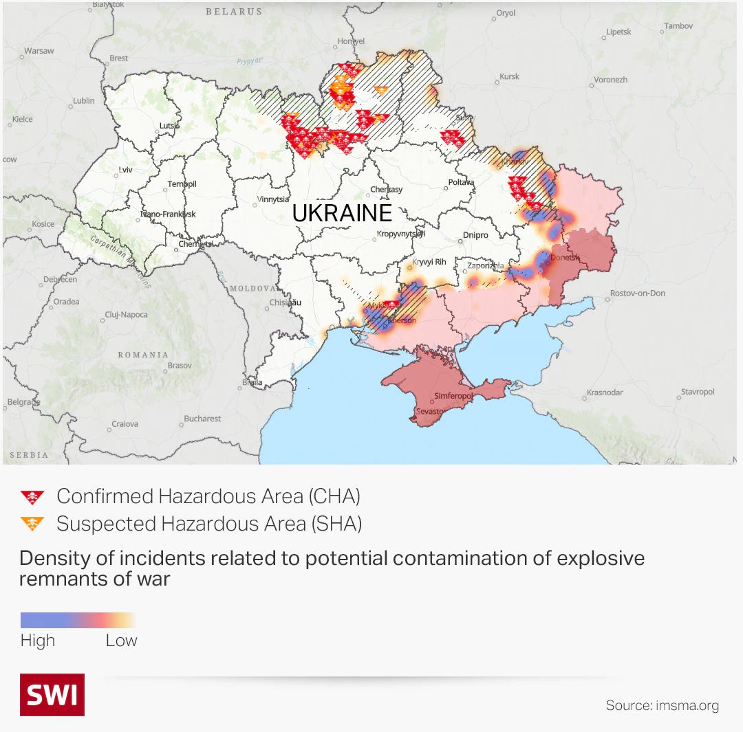
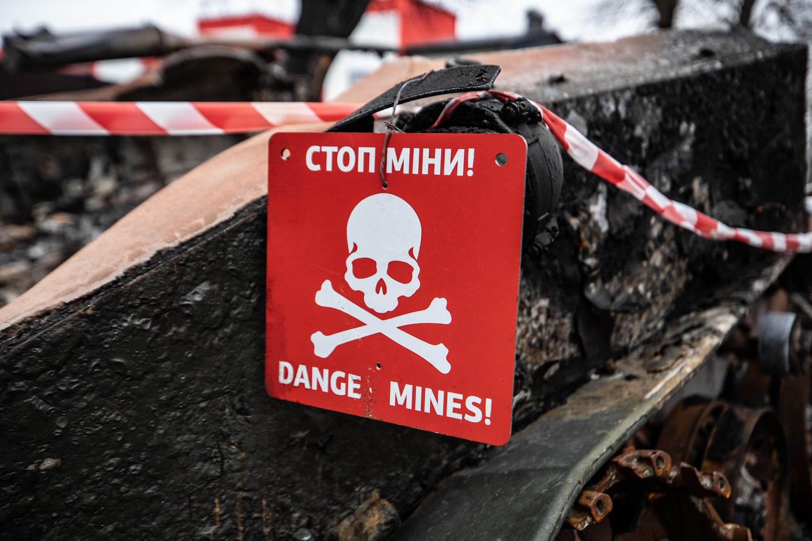
Cities, farmlands, and seaways in Ukraine are littered with a dangerous assortment of anti-personnel and anti-vehicle mines, cluster munitions, and other hazardous unexploded or discarded ammunition. It is believed that approximately 30% of Ukraine’s territory has been affected by contamination.
From February 24, 2022, to February 5, 2023, the Office of the United Nations High Commissioner for Human Rights (OHCHR) recorded 18,817 civilian casualties in Ukraine, with 7,155 killed and 11,662 injured. This figure includes casualties caused by landmines and unexploded ordnance but also victims of direct artillery shelling and airstrikes. Action on Armed Violence (AOAV) reported in 2022 that Ukraine was the country that was most affected by mines and explosive ordnance, followed by Myanmar and Syria.

Introduction
ATAK-Civ (Android Team Awareness Kit – Civilian) is a robust mobile application designed to enhance situational awareness and coordination for various civilian operations. In the context of demining operations in Ukraine, ATAK-Civ can play a crucial role in improving the efficiency and safety of demining teams by providing real-time information exchange and coordination capabilities. Here’s a use case scenario highlighting how ATAK-Civ can be utilized for demining efforts in Ukraine.
Scenario: Clearing Unexploded Ordnance (UXO) in a Rural Area
Situation
A rural area in Ukraine has been identified as containing potential unexploded ordnance (UXO) from past conflicts, posing a significant risk to the local population. A demining team is tasked with clearing the area to ensure the safety of civilians.
Deployment
- The demining team members equipped with ATAK-Civ-enabled devices are deployed to the designated area.
- Each team member launches the ATAK-Civ application and establishes communication with the command center and other team members.
Functionality and Benefits
- Real-time Mapping and Data Sharing:
- Using the GPS functionality of ATAK-Civ, each team member can visualize their own location and the location of other team members on a shared map.
- The demining team can mark areas suspected of containing UXO, as well as record the locations of cleared zones.
- The team leader can update the map with essential information, such as potential UXO patterns, known minefields, and safe evacuation routes for civilians.
- The demining team can upload geotagged images and videos of suspected UXO items, aiding in remote assessment by experts and assisting in decision-making.
- Collaborative Planning and Coordination:
- The team leader can assign specific tasks to individual team members, such as clearing a particular area or conducting secondary searches.
- Through ATAK-Civ’s messaging and chat features, team members can communicate instantly and exchange critical information or updates.
- The demining team can request support from explosive ordnance disposal (EOD) specialists or call for medical assistance if needed, utilizing the integrated communication capabilities.
- Enhanced Safety Measures:
- ATAK-Civ provides a shared awareness of team members’ positions and movements, allowing for improved situational awareness and preventing friendly fire incidents.
- The demining team can receive real-time updates on weather conditions, such as approaching storms or extreme temperatures, ensuring the safety of team members during operations.
- In case of an emergency or injury, team members can trigger distress signals through ATAK-Civ, alerting the command center and nearby medical responders for immediate assistance.
- Post-Mission Analysis and Reporting:
- ATAK-Civ records all activities, including marked areas, UXO findings, and mission-related messages, creating a detailed log for post-mission analysis.
- The data captured during the demining operation can be used to generate comprehensive reports, helping identify patterns, improve future planning, and contribute to a national database on UXO contamination.
Conclusion
By leveraging the capabilities of ATAK-Civ, demining teams operating in Ukraine can enhance their effectiveness and safety. Real-time mapping, data sharing, collaborative planning, and communication features allow for efficient coordination among team members and provide critical situational awareness. The application’s ability to capture and analyze mission data contributes to the improvement of demining strategies and the overall safety of civilian populations in UXO-affected areas.


